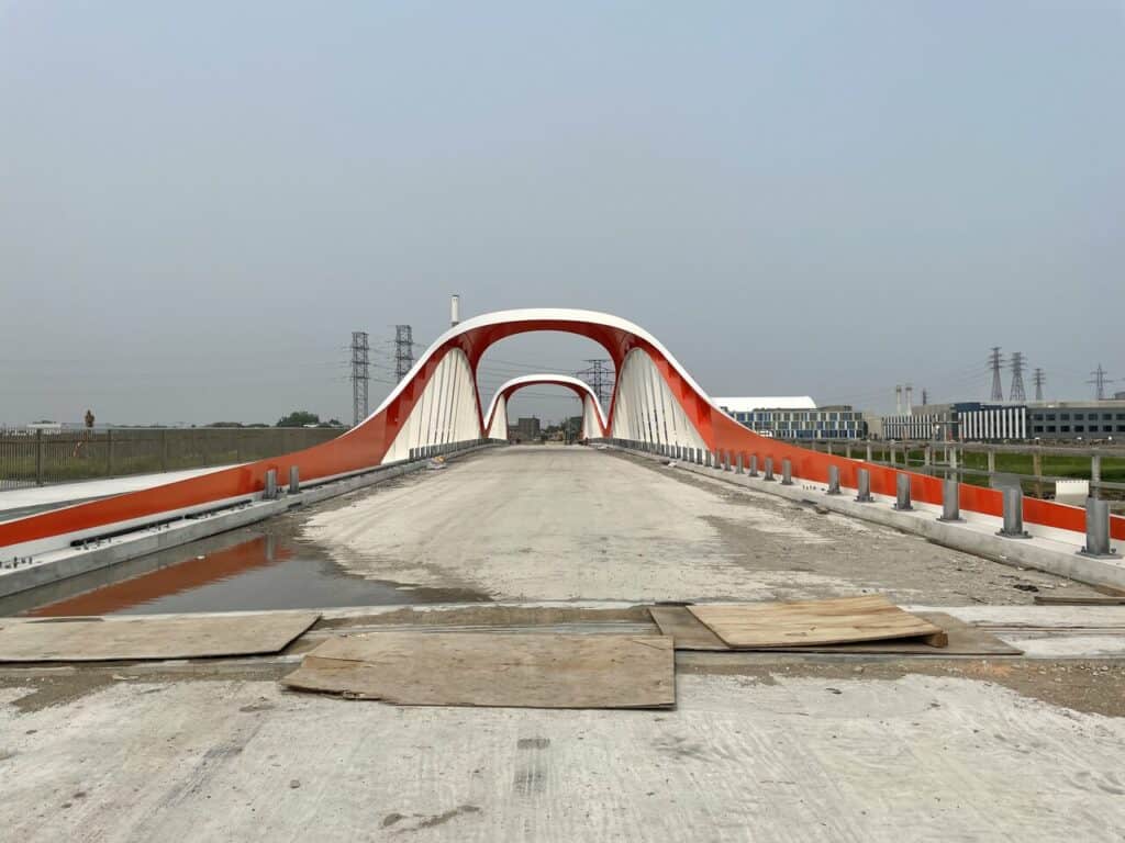
Toronto’s Port Lands are gradually being transformed from a post-industrial watseland into a new mixed-use community with plenty of greenspace… and great new bridges. In this east-facing image down Commissioners Street by UrbanToronto Forum contributor ADRM, the longest of those bridges is unattached to open roads for the moment, and will remain that way for some time, looking out-of-place now, but promising a brighter future of the area. Once the bridge eventually opens to traffic, water will be flowing beneath it via a new, curving, naturalized mouth for the Don River, emptying out into Toronto Harbour and Lake Ontario south of the current orthogonality of the Keating Channel. Plenty more photos of ADRM’s recent trip through the construction zone can be seen by clicking on the link, above.
Want to see your work featured as Daily Photo? You can post in the City Photos & Videos section of the UrbanToronto Forum, or submit your images to our Instagram or UrbanToronto Flickr Pool for your chance to be featured on our Front Page.
* * *
UrbanToronto has a research service, UrbanToronto Pro, that provides comprehensive data on construction projects in the Greater Toronto Area—from proposal through to completion. We also offer Instant Reports, downloadable snapshots based on location, and a daily subscription newsletter, New Development Insider, that tracks projects from initial application.


